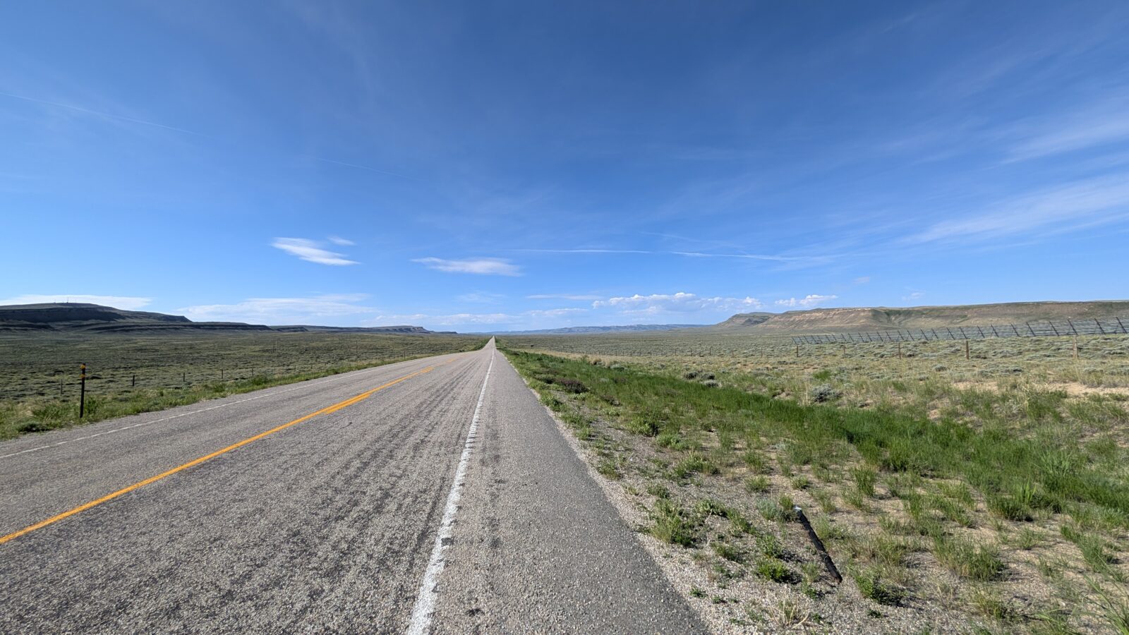
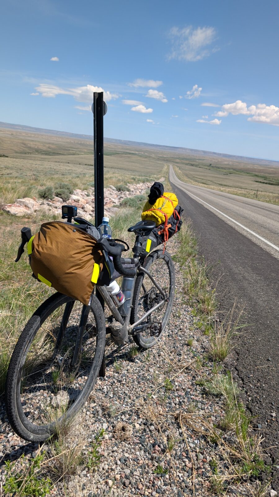
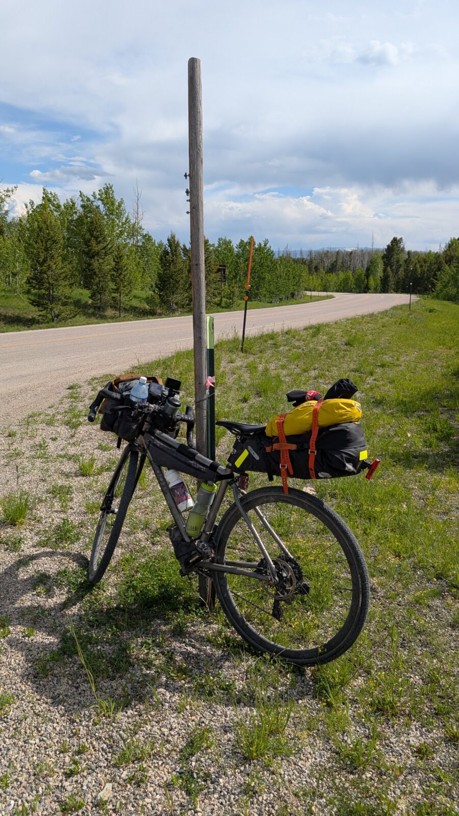
I wanted to go back to City Market to get another bigger bottle of water as my fourth bottle and a sandwich as they were out the night before. I finally got going and worked my way out of town. I was taking the Sage Creek Road Route which would be pavement then gravel. I was well aware this was going to be a tricky hydration management day with the heat and no resupply until the Little Snake River area where I could stop at a local ranch for water. But pretty much barren between here and there.
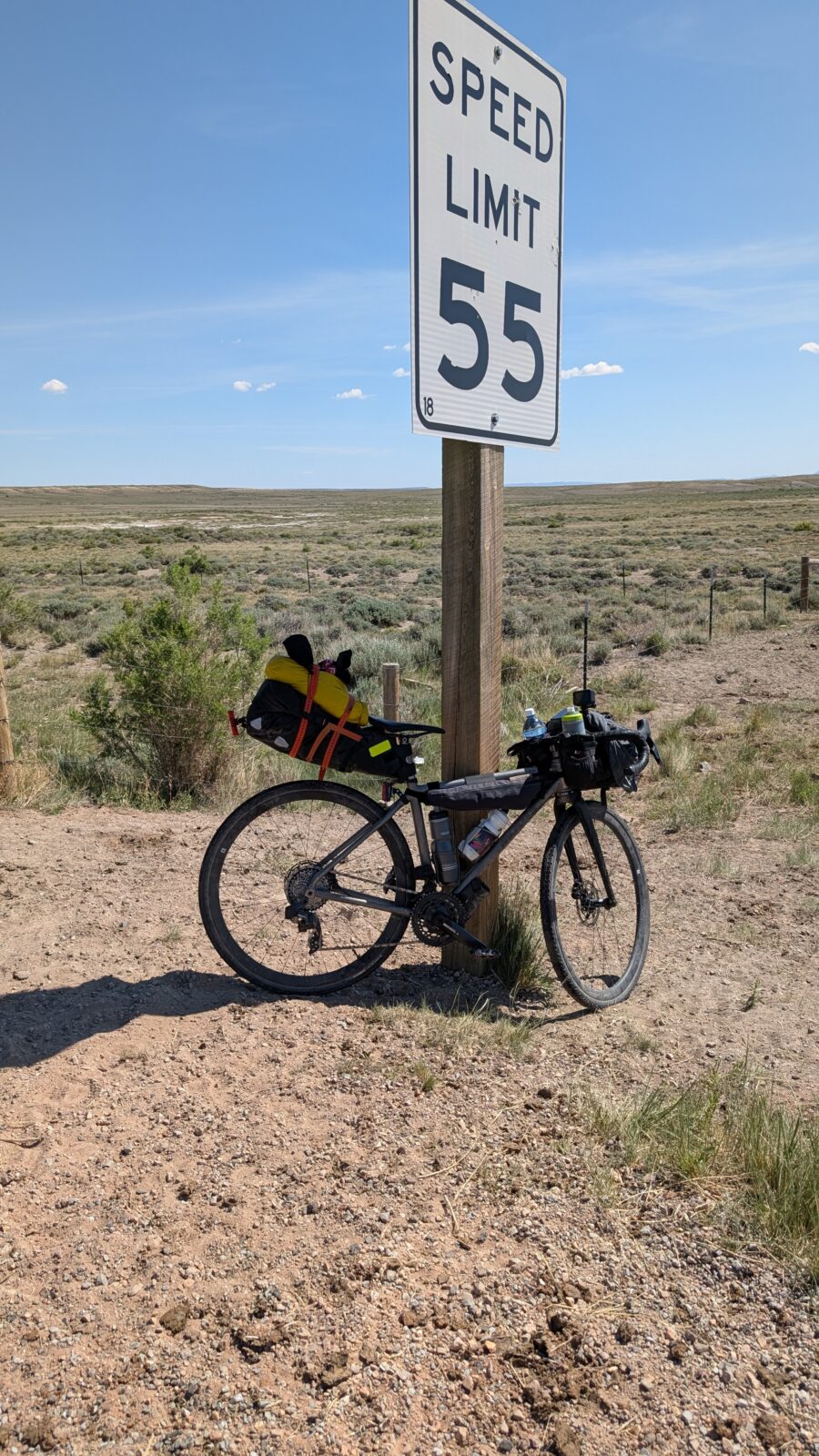
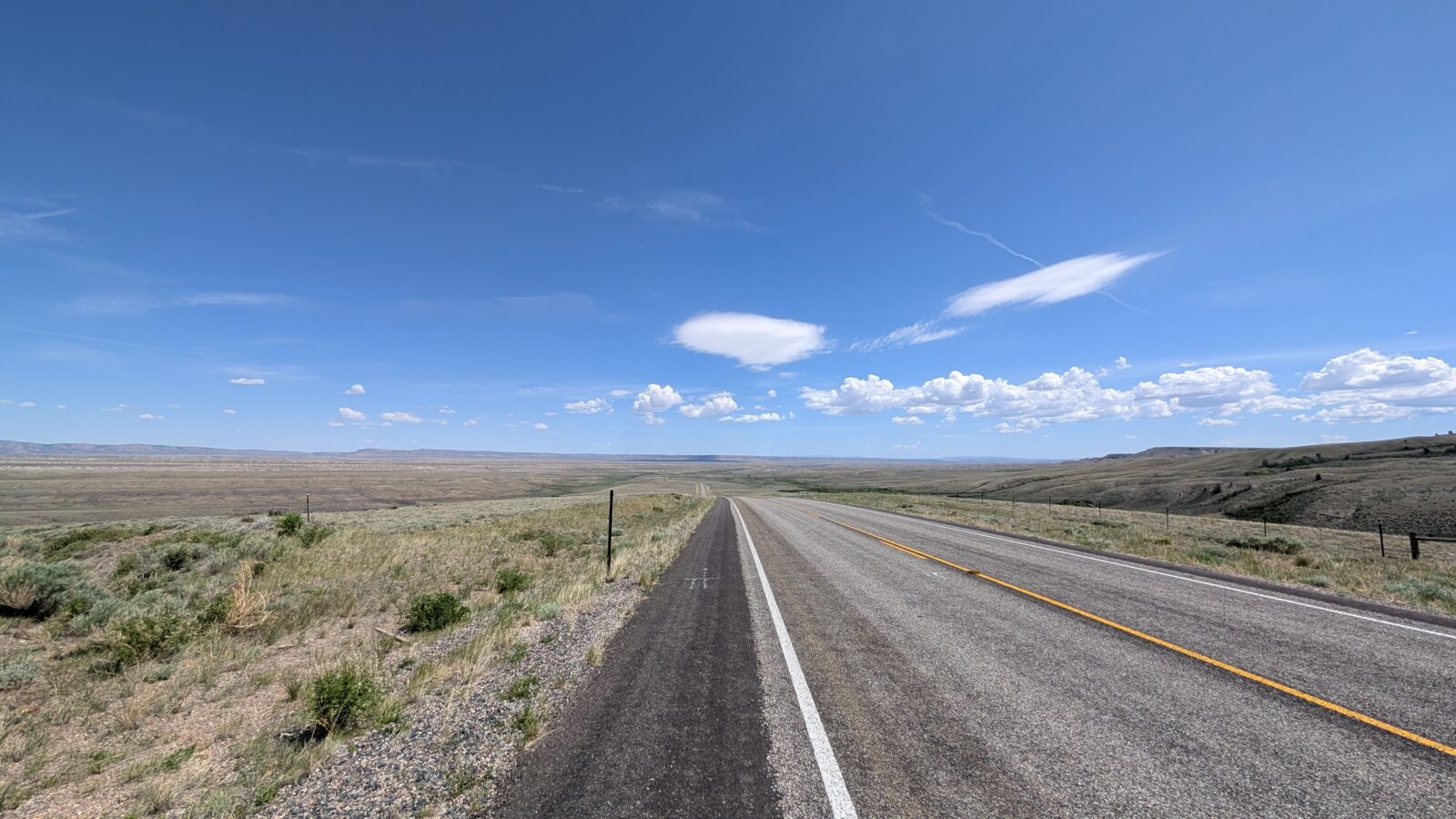
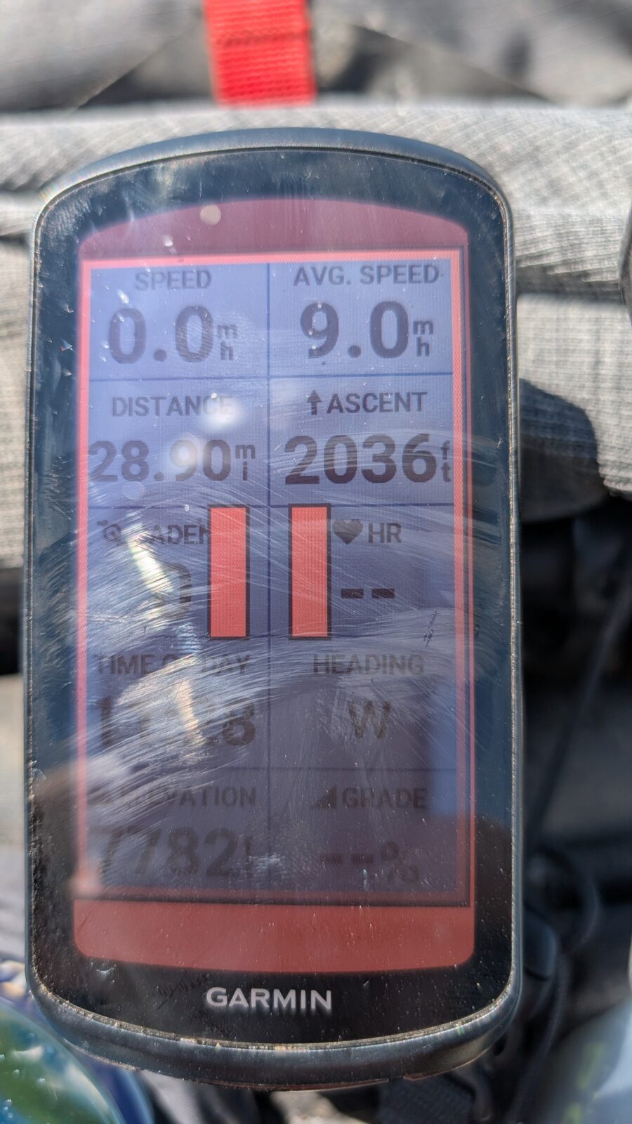
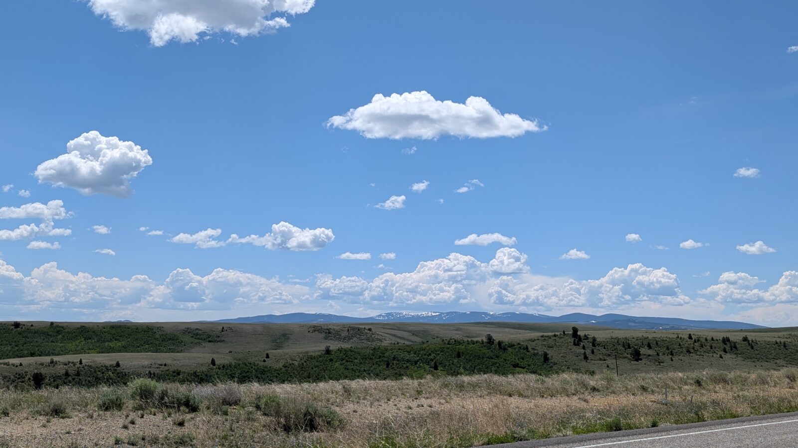
There would be two summits to climb today. One paved at around 8,300 feet. The other gravel at 8,900 feet. Mostly climbing all the way. Wind was out of the south, southwest so a pretty decent headwind to work through the first 25 miles or so. By 11:30 I had only covered 29 miles and had already climbed 2,036 feet. Slow going in the wind for sure.
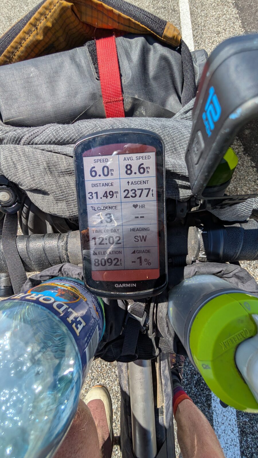
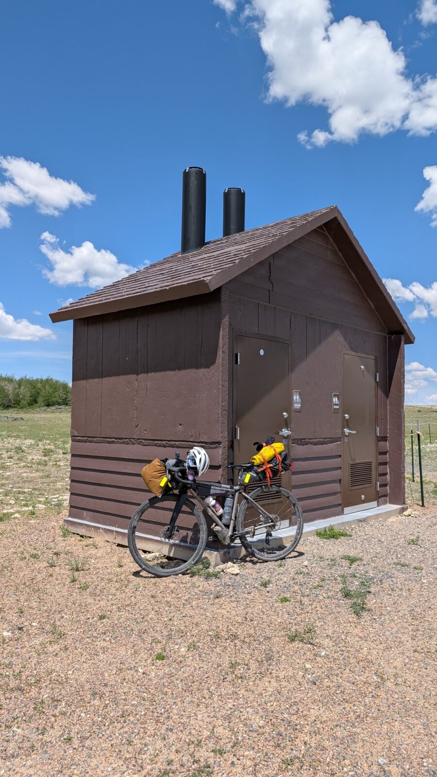
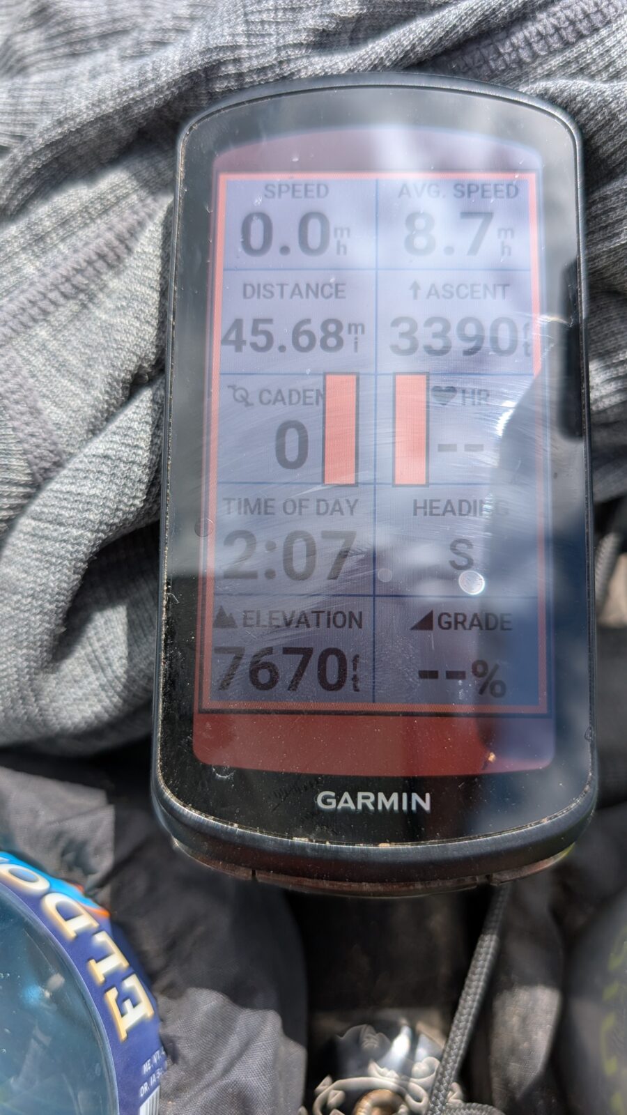
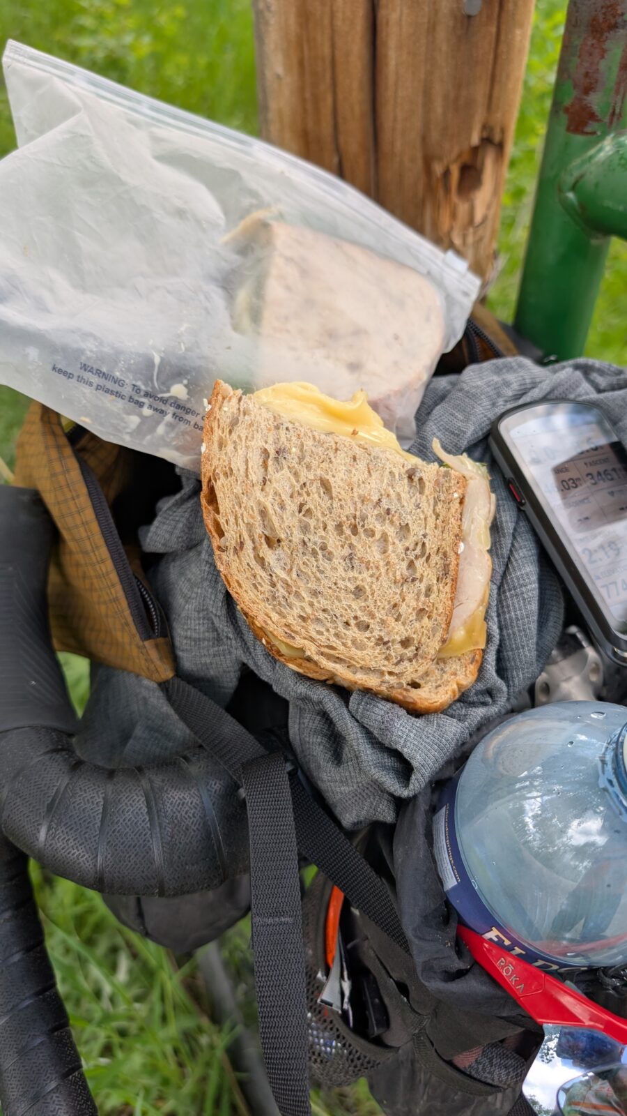
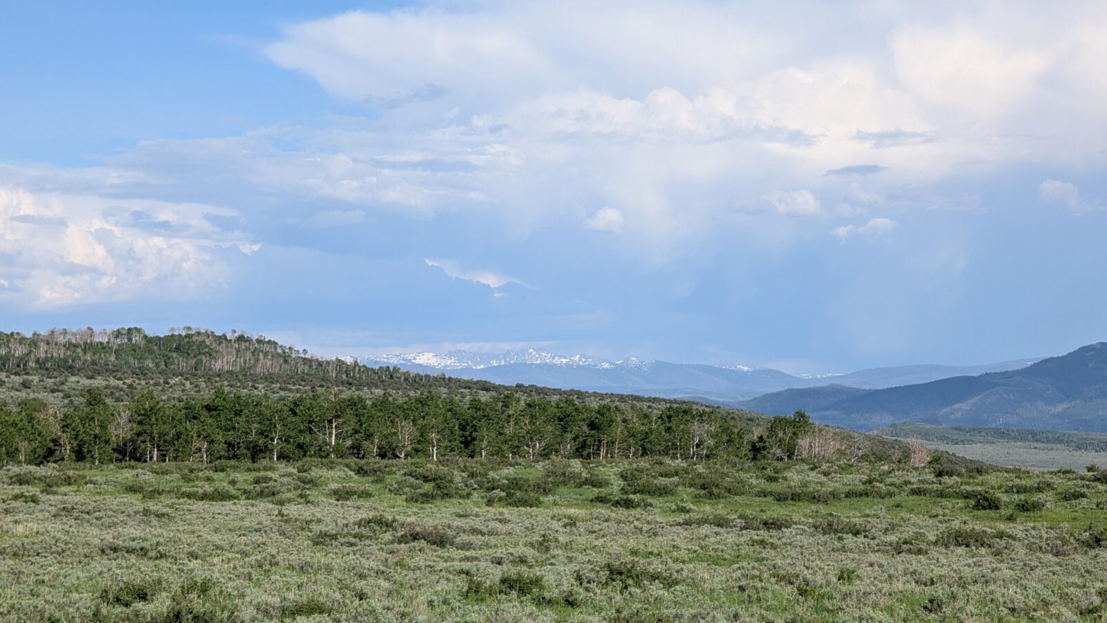
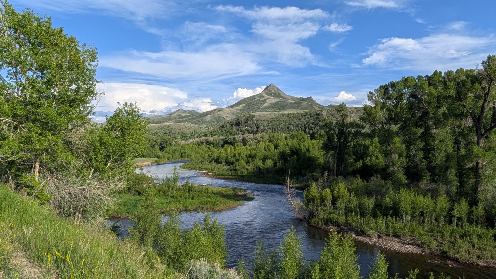
At 12:00 pm I climbed the first summit, 8,092 ft, 32 miles with 2,377 feet of climbing. In the middle of nowhere was a small campground with a bathhouse. I was able to find shade one side and refuel. But no water. At 2:10 pm I was at 46 miles and 3,390 feet and found my first trees for shade. I could see the trees off in the distance and made that my target to stop for lunch. This was good timing as the road had recently turned to gravel. I ate half of my turkey and cheese sandwich and nursed some water. I was in good shape but I had to manage my water carefully for sure.
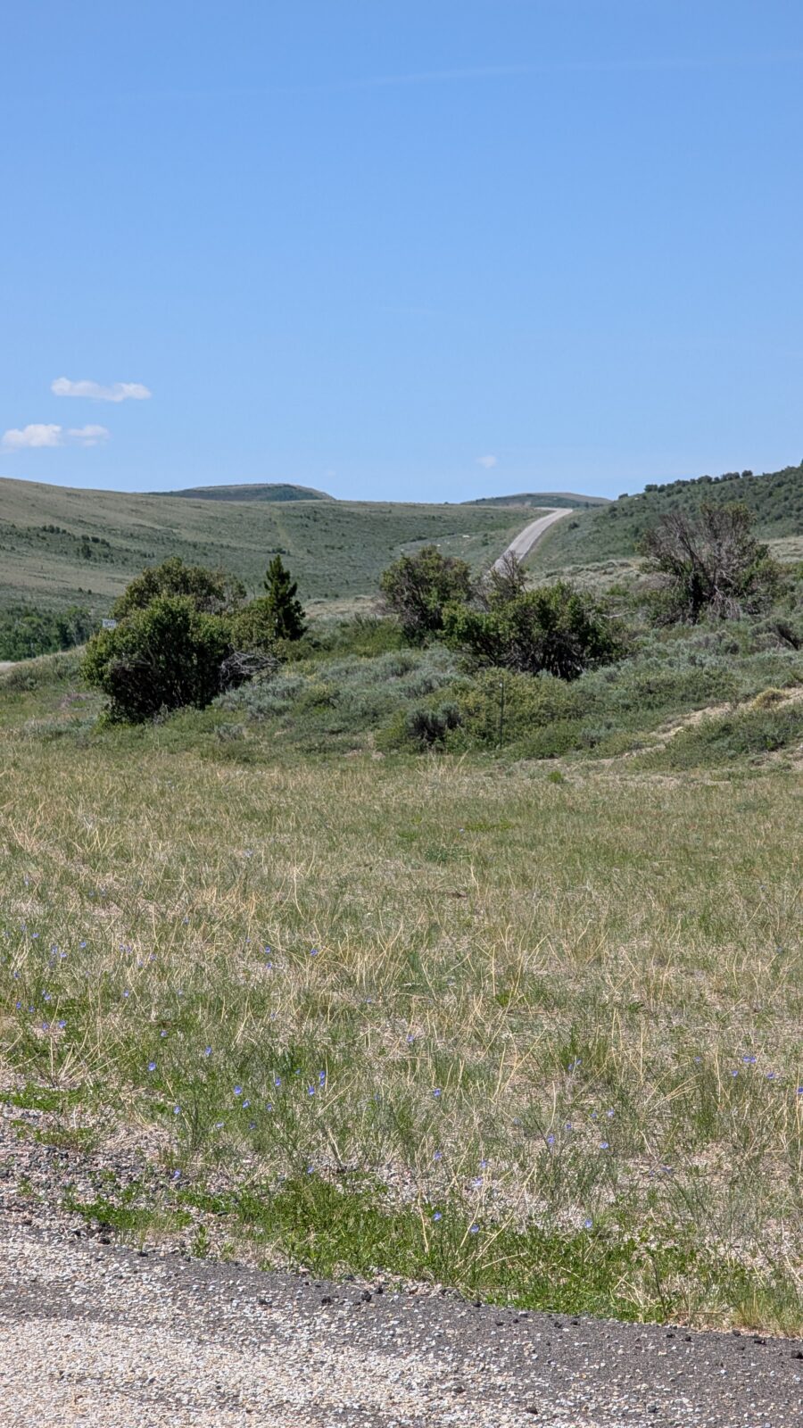
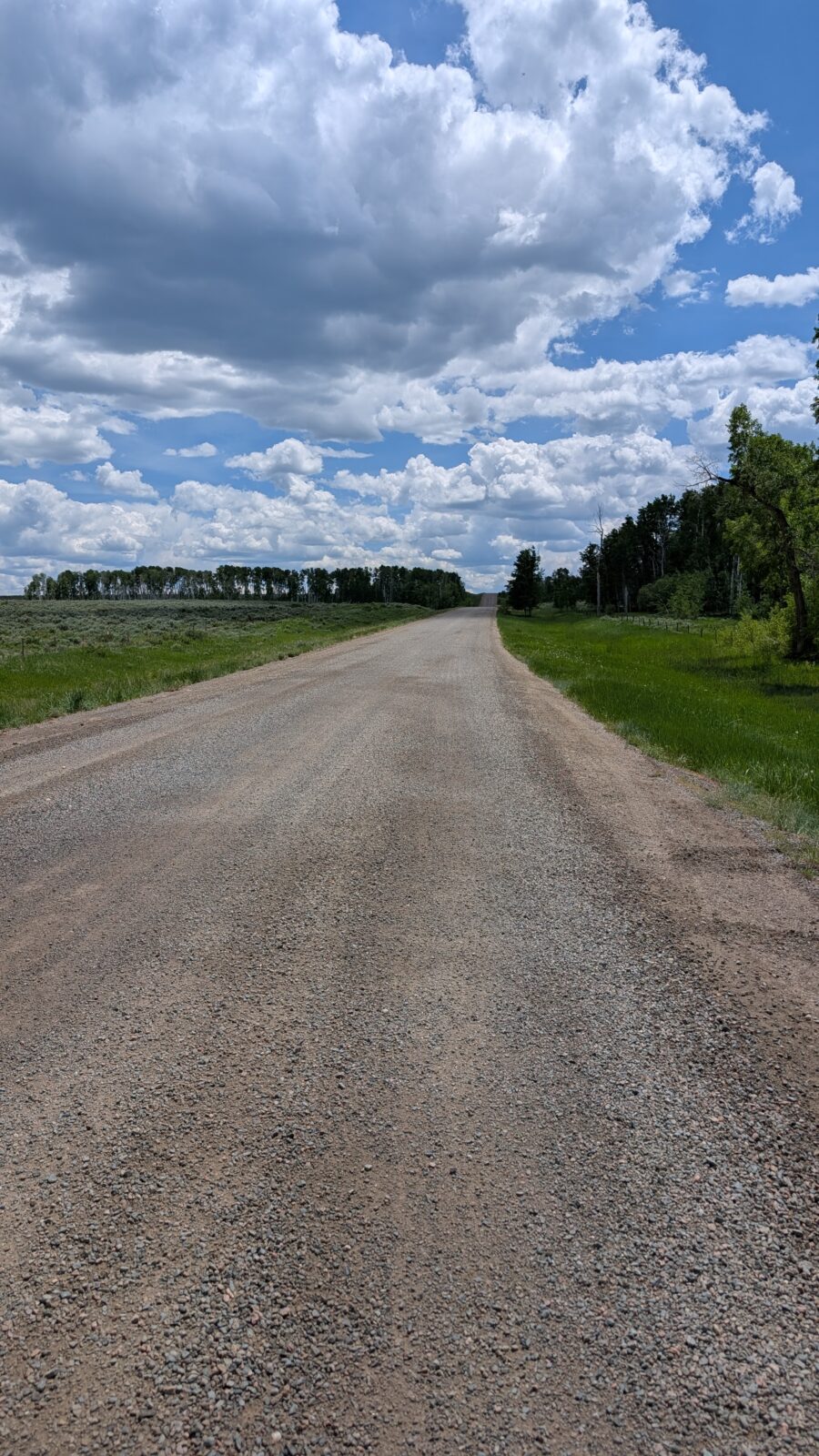
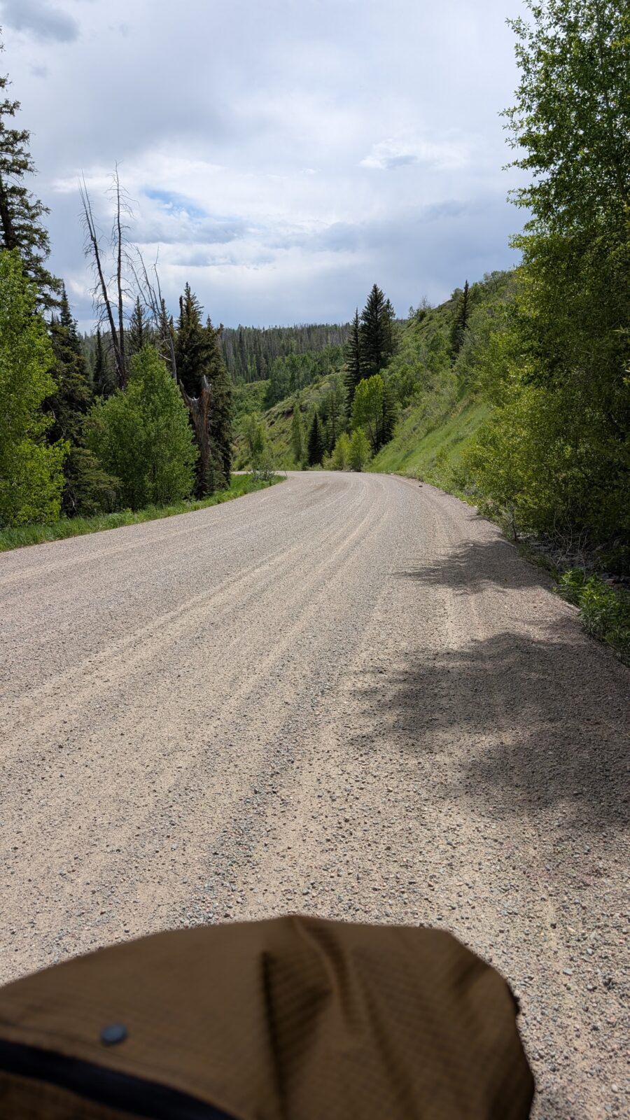
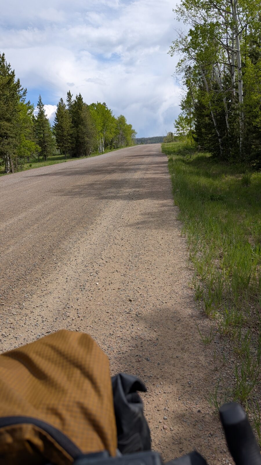
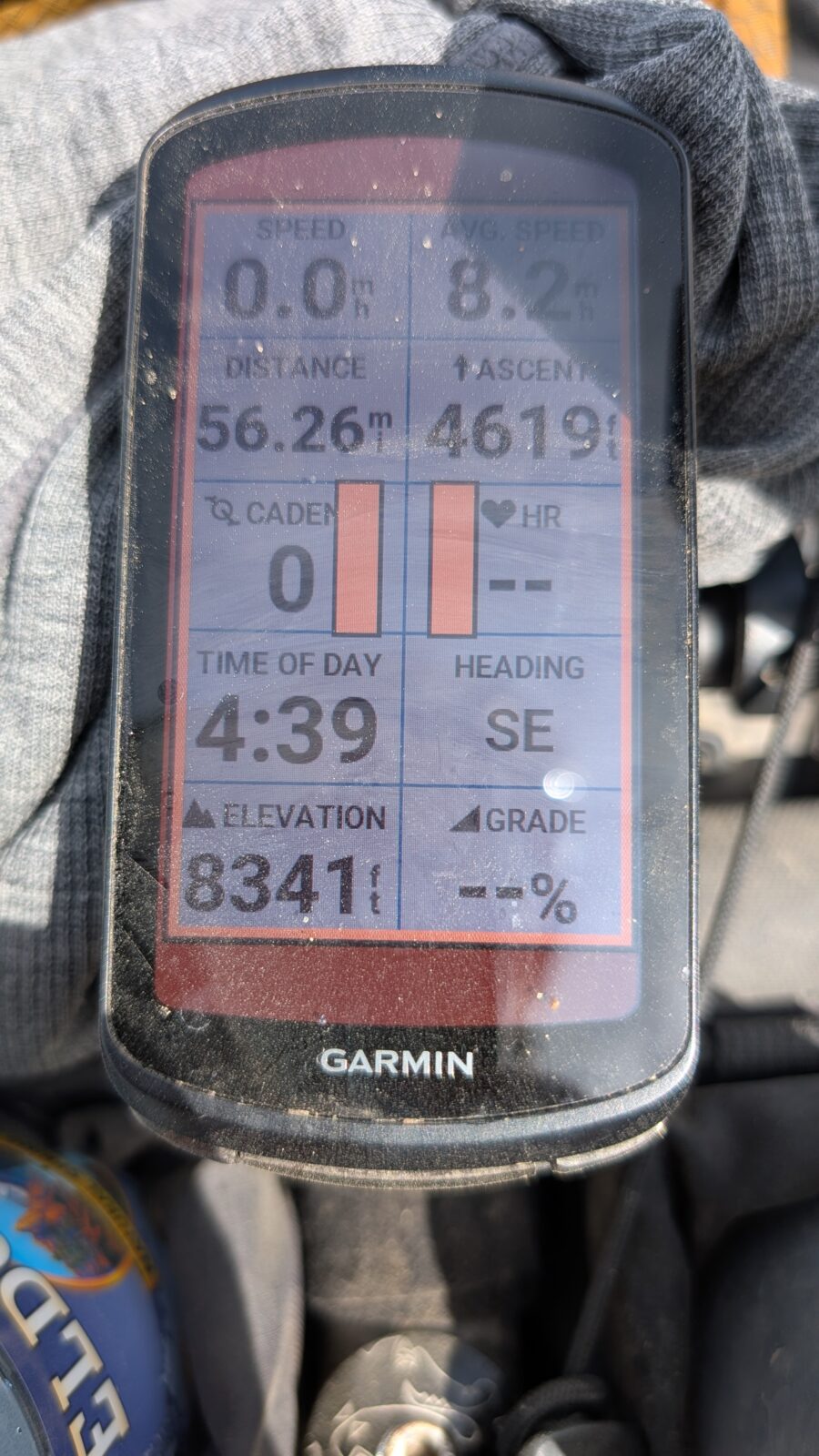
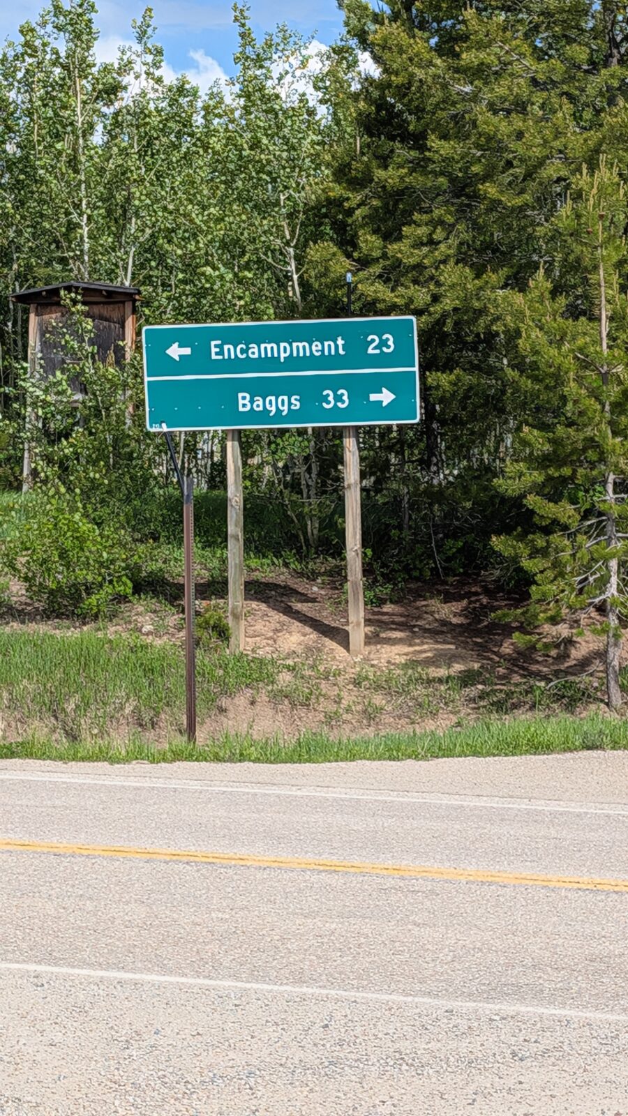
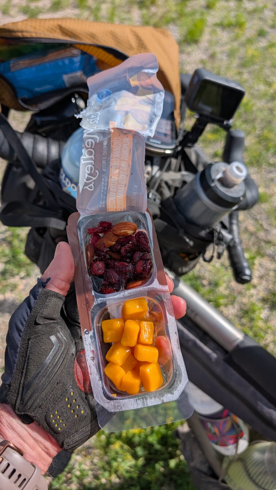
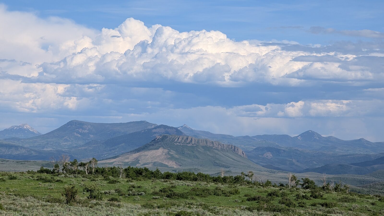
The gravel varied but was decent. The road was fairly wide with not a lot of traffic. It was all climbing until I got to the summit at 8,900 feet. I reached Wyoming Highway 70 at 4:40, 56 miles and 4,619 feet of climbing. I grabbed some shade and had a snack. Melted cheese and cranberries. Also another orange. Oranges were my go to on this leg and I had several from City Market. The good news was I would have a decent downhill now on Hwy 70. I was heading towards Baggs but looking for the Little Snake River Spur road which would turn into 129 back to Steamboat. My GPS was a complete mess and thankfully I knew the area better than it did.
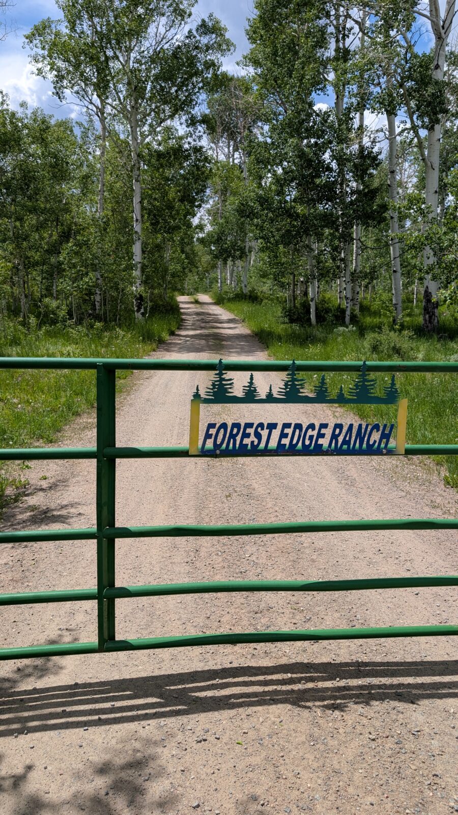
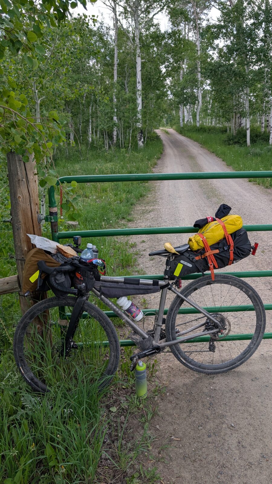
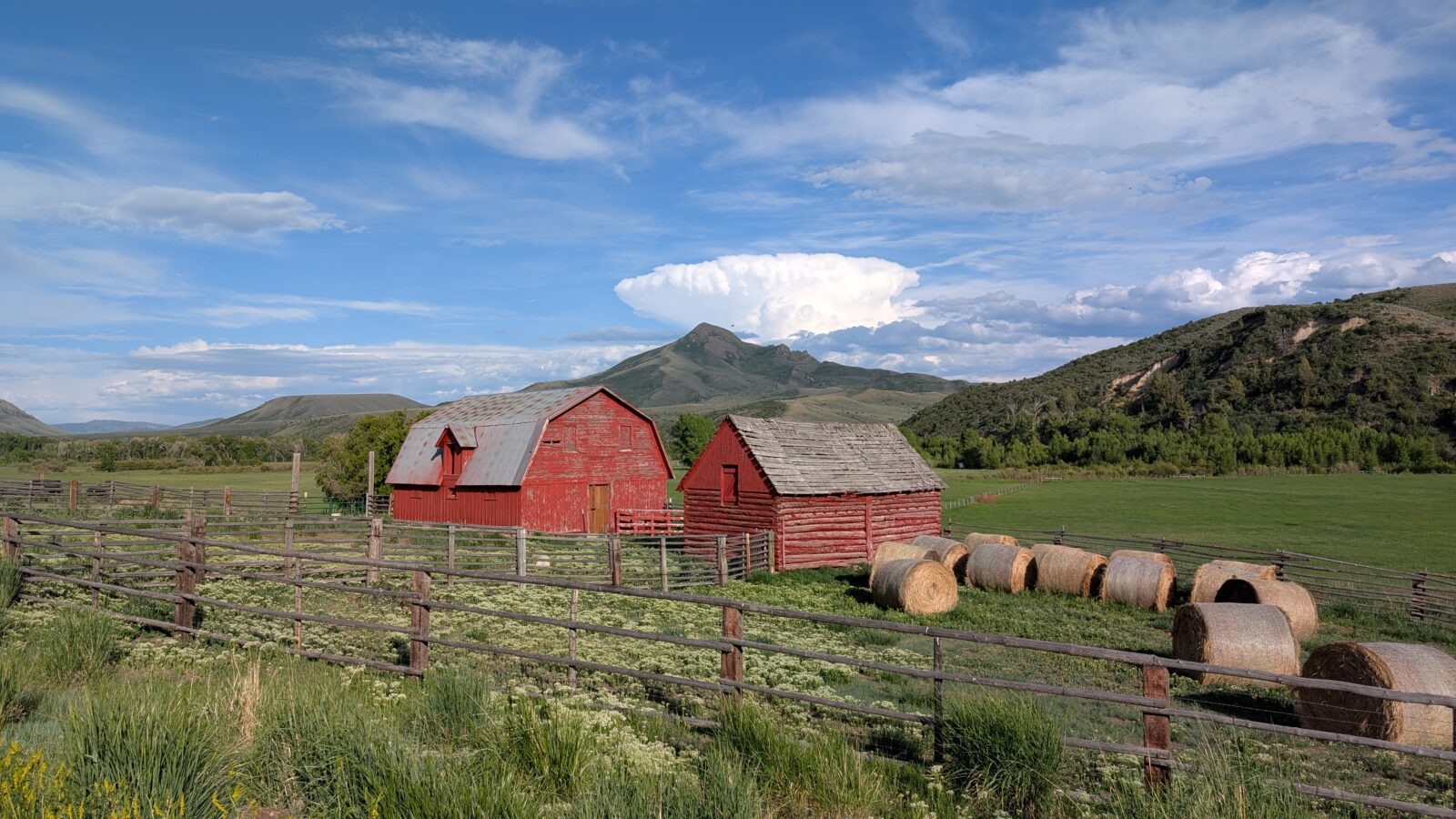
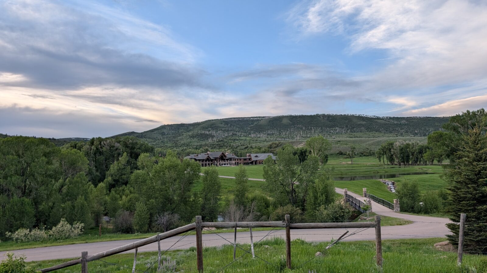
I never did find any water until I got to the Little Snake River. I stopped at a ranch and topped off all my water. They offered me to stay there as it was after 7:00pm and going to get dark soon. I said my goal was to get past Three Forks Resort and maybe camp at on the Routt National Forest. He thought it was too late with the amount of climbing I would have to do. But water full, I headed on my way. Thank goodness I still had some mosquito wipes left. Riding along the Snake River it was full of mosquitos anytime I stopped.
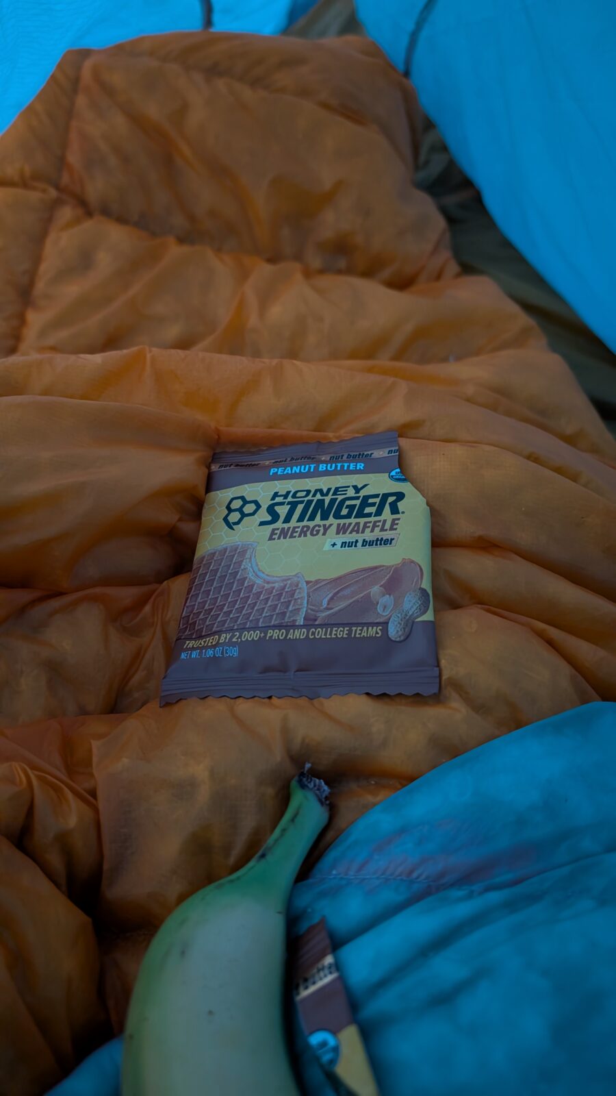
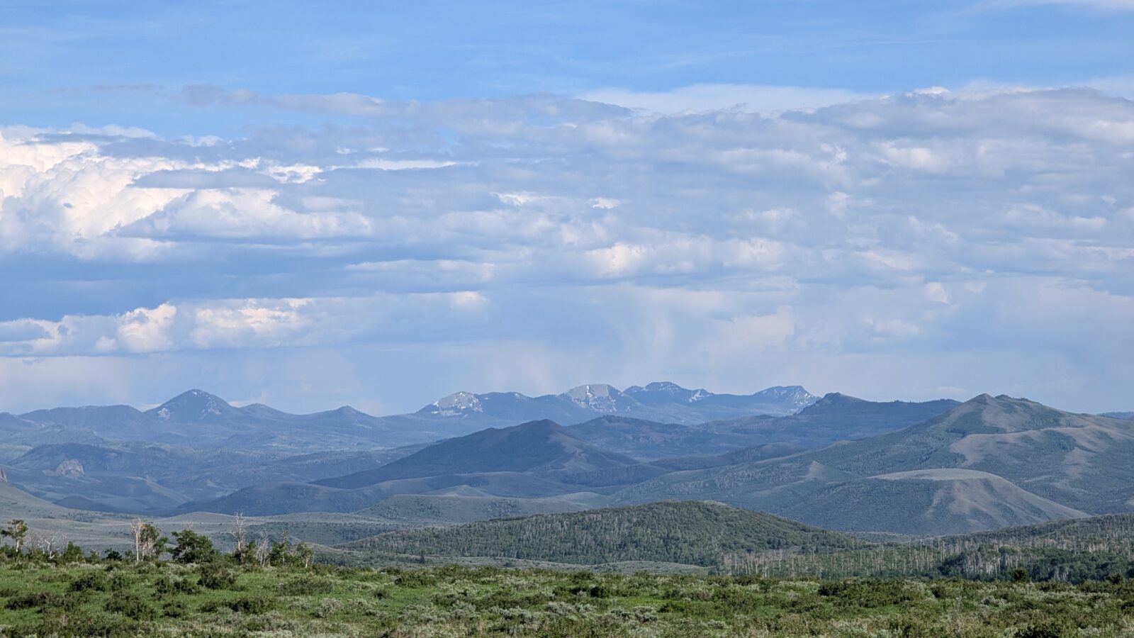
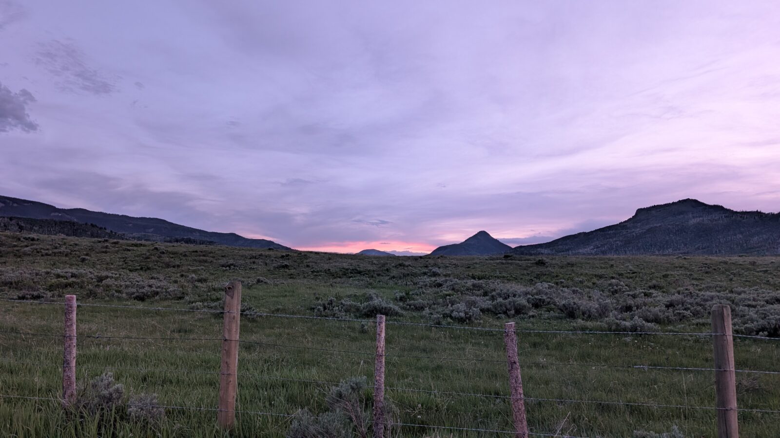
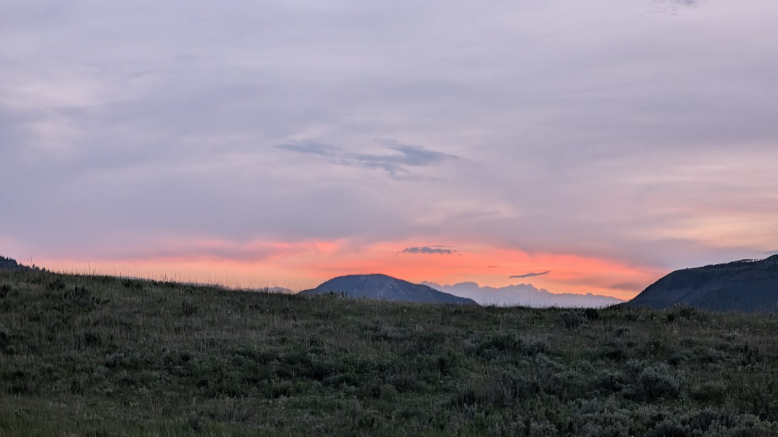
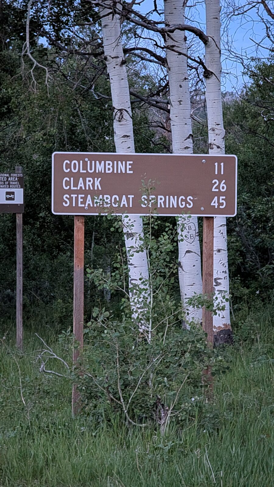
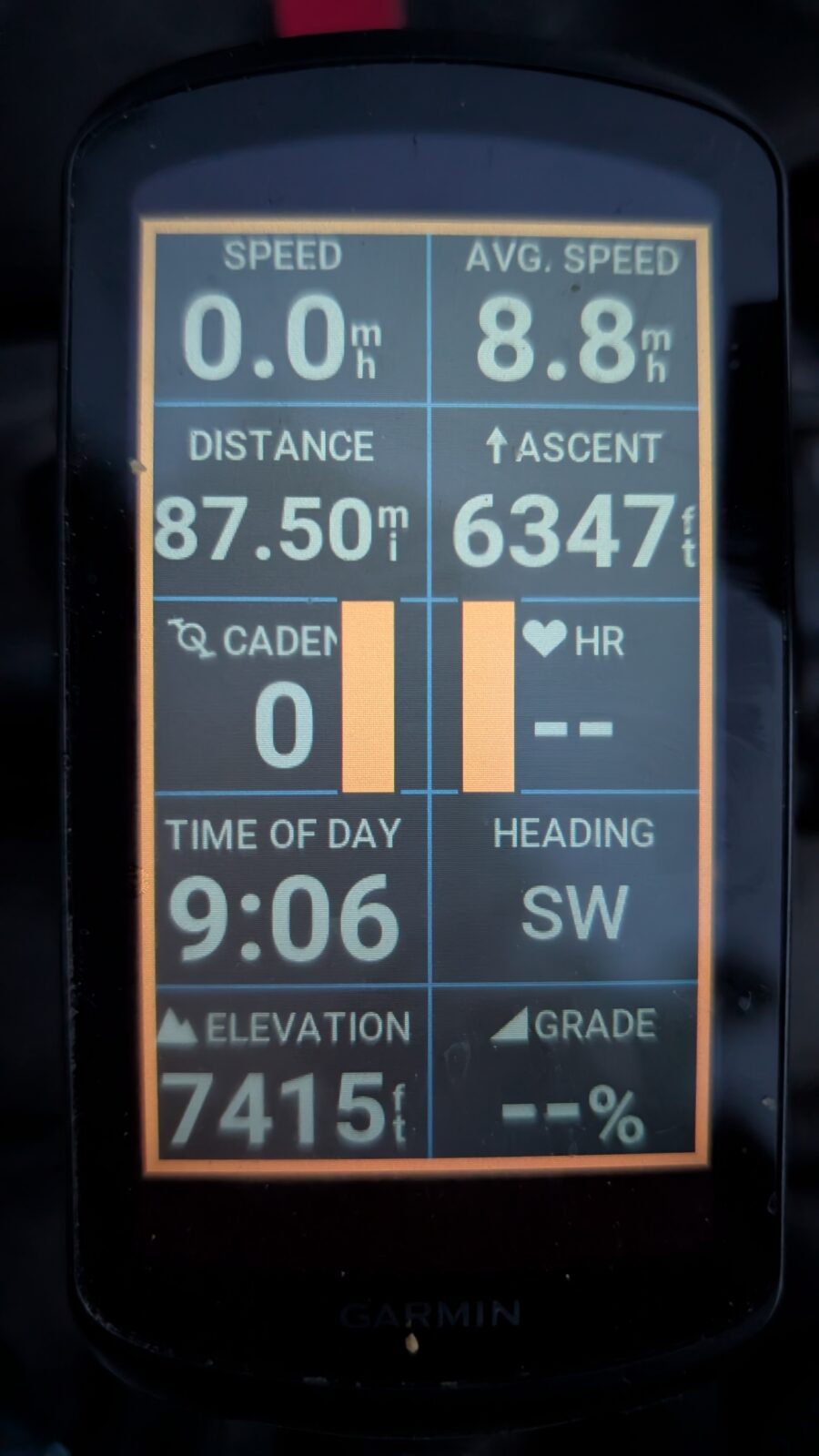
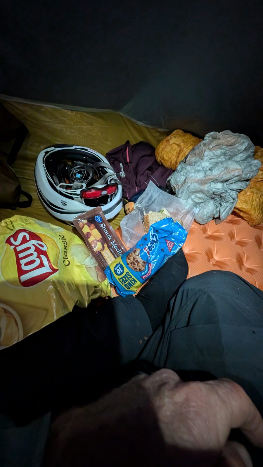
I finally reached Three Forks and then kept climbing to get past it. At 9:00 pm I entered Routt National Forest and started looking for a place to camp. I found some car path through the meadow back into the woods and stopped there. It was only 88 miles but 6,347 feet of climbing. A long day due to heat and the headwinds and all the climbing. But now I was only 45 miles from Steamboat. I put up my tent and proceeded to chow on pretty much everything left in my feed bag. I was starving. I satellite messaged Lori that I would meet her at Clark Store in the morning for breakfast if she wanted to. She said yes, and I said good night.